Inkatlas is the simple way to create your own maps for print, whether you're planning a bike trip or publishing a book. Basic maps are always free!
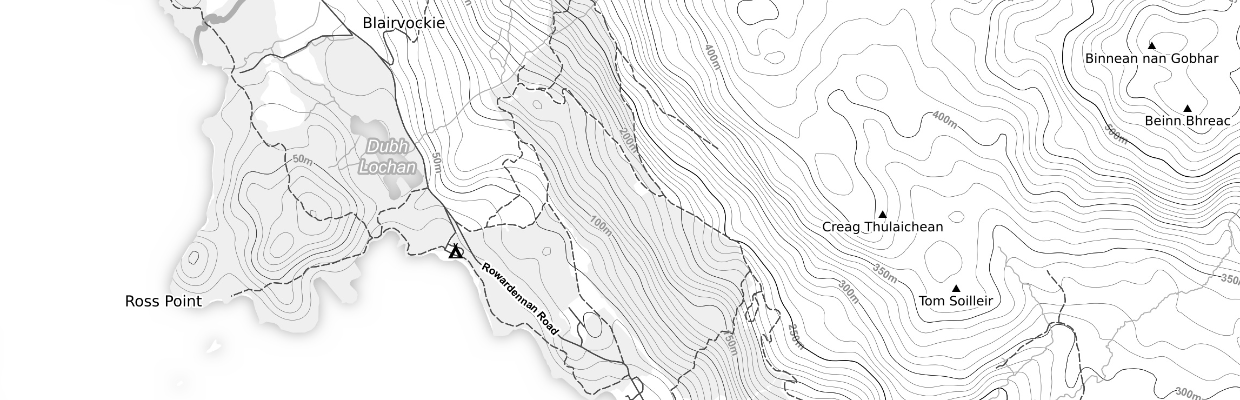
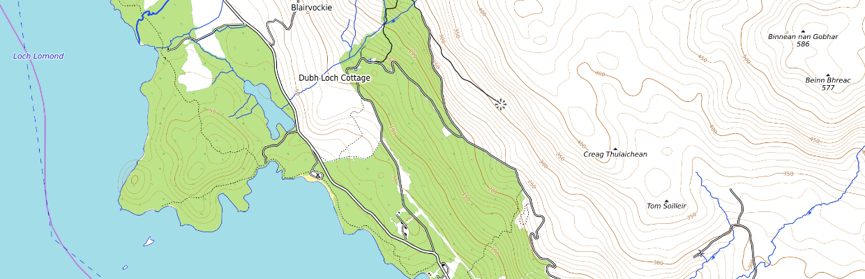
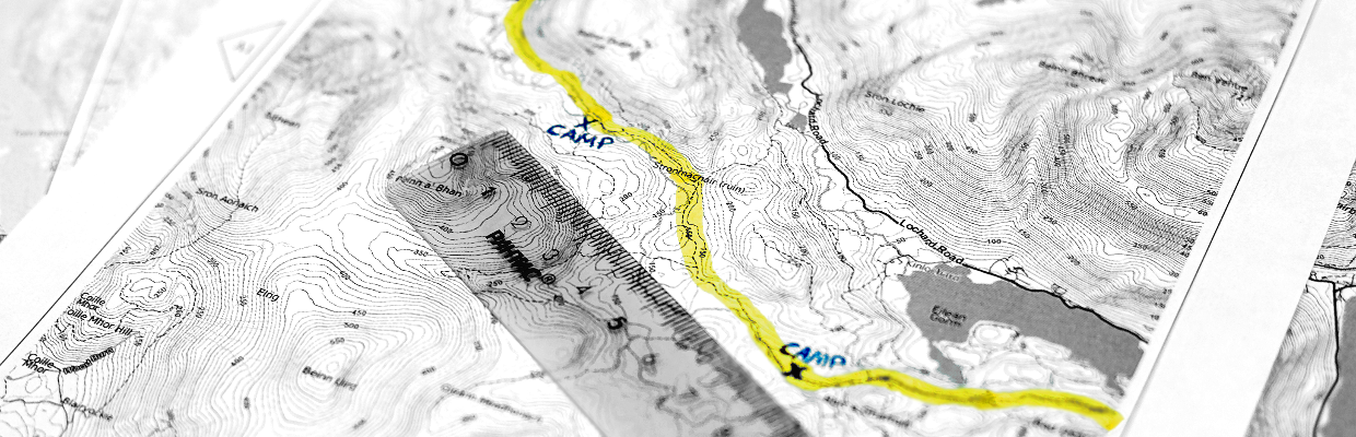
Create topographic maps with elevation labels, trails and campsites.
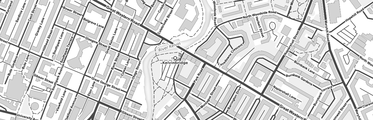
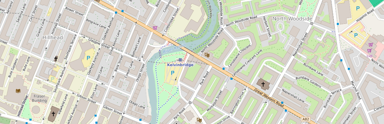
Create detailed city maps with points of interest and public transit stops.
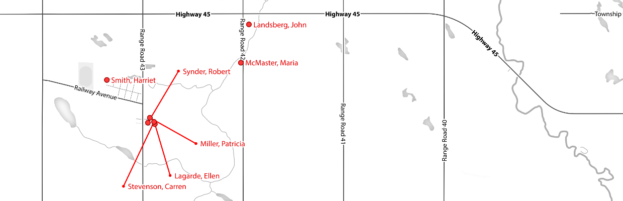
Add your own points and GPS tracks.
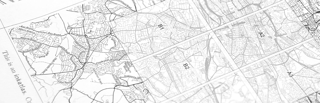
Create multi-page booklets with visual index pages.
Choose from several styles optimized for desktop printers and B&W media.
| Inkatlas is the simple way to create your own maps for print, whether you're planning a bike trip or publishing a book. Basic maps are always free! | Get started | Learn more |
Maps cannot be created in a mobile browser at this time. Sorry for the inconvenience!