Whether you need a quick map for your next bike trip or a tailored cartographic solution for your publishing business, Inkatlas is the simple way to create paper maps. You don't need to become a GIS expert. Leave it to us!
Made for paper, not screens.
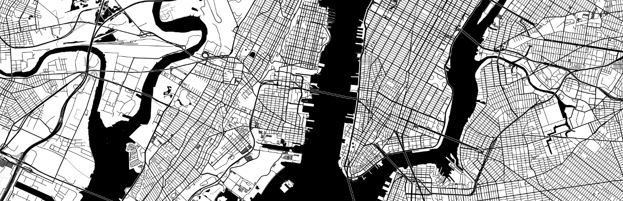
Inkatlas maps have print resolutions and standard scales (like 1:50000). We've also designed two map styles specifically for black and white media.
Can't fit your map on one page? Create a multi-page atlas with a visual page index.
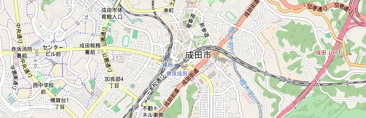
Global coverage
Benefit from a highly detailed, truly global geographic dataset.
Inkatlas uses data from the OpenStreetMap project, updated daily. Your maps will include trails and points of interest contributed and reviewed by locals around the world.
See something missing? Add it using OpenStreetMap's simple ID Editor and help map the world for everyone!
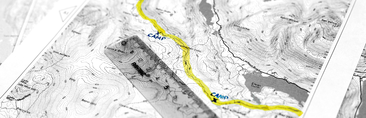
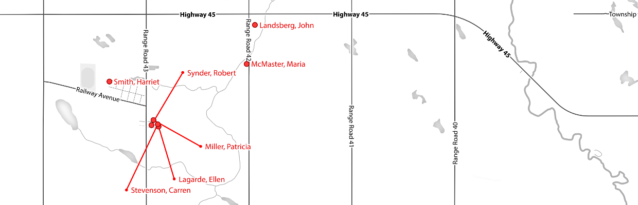
Bring your points and GPS tracks!
Create customized, professional print-ready maps with your data. Effortlessly.
Add labelled tracks and points to your maps automatically by uploading your GPX and GeoJSON files. More formats and capabilites coming soon!
Support for GeoJSON layers is available with a Pro or Enterprise Plan.
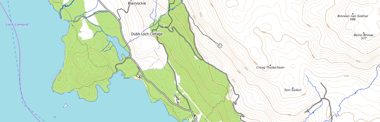
No roads? No problem.
Inkatlas uses global elevation data to help you create useful maps of wild places.
We're working on including highly detailed country-specific datasets to deliver an improved terrain layer soon.
Custom map styles
Need something special for your publications? We'll work with you to create a custom map style. Or three. Or ten.
Available with a Pro or Enterprise Plan.
Custom interfaces and integrations
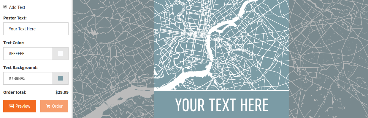
Provide your employees or users with a custom web interface for creating printable maps, designed according to your needs. Here's an example in action.
Want to use Inkatlas in your own applications? No problem! Take advantage of our developer API.
Available with a Pro or Enterprise Plan.
Need something else?
We're constantly working on features and improvements. Get in touch to request something new!